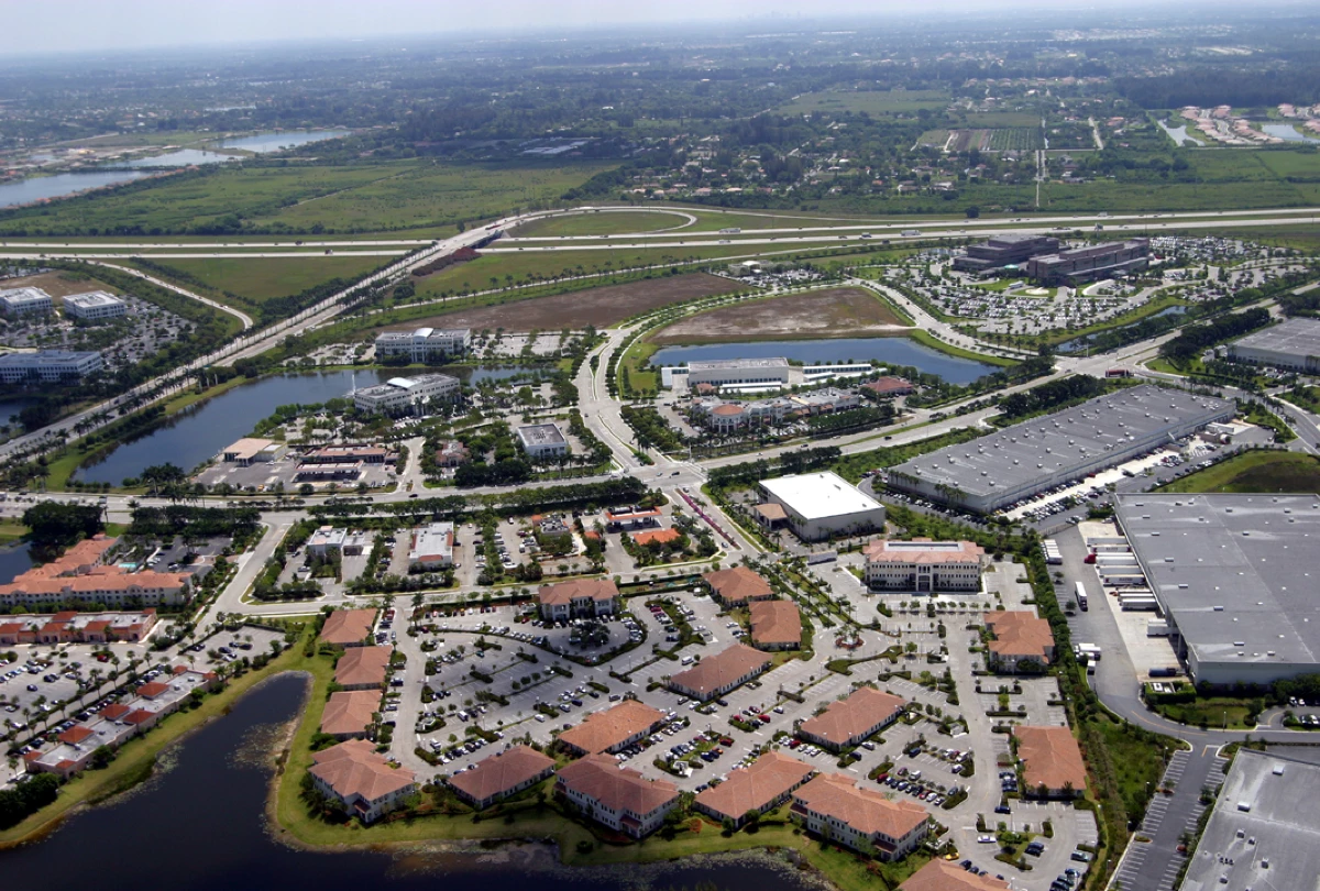
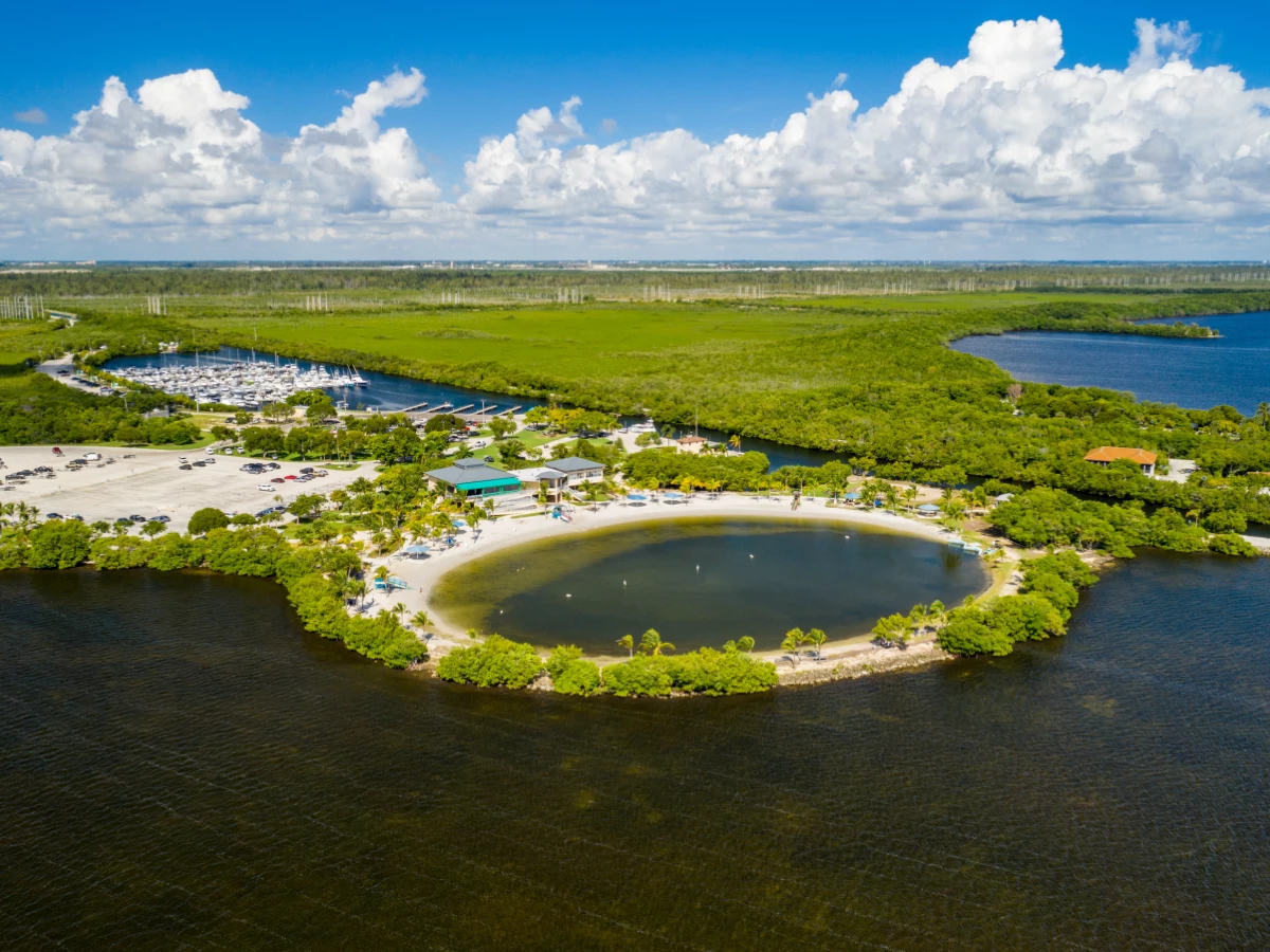
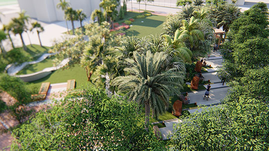
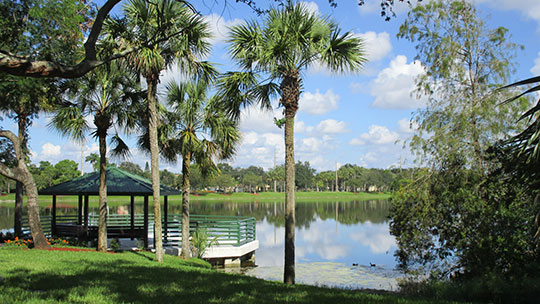
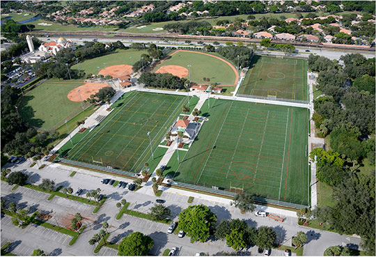
Projects

Leveraging creativity and expertise
By combining over 85 years of expertise in the Florida market with the support of our parent company, SAFEbuilt, we provide the highest levels of service, expertise, and resources to municipal organizations.
Projects
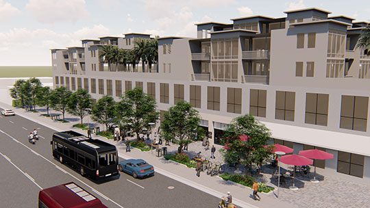
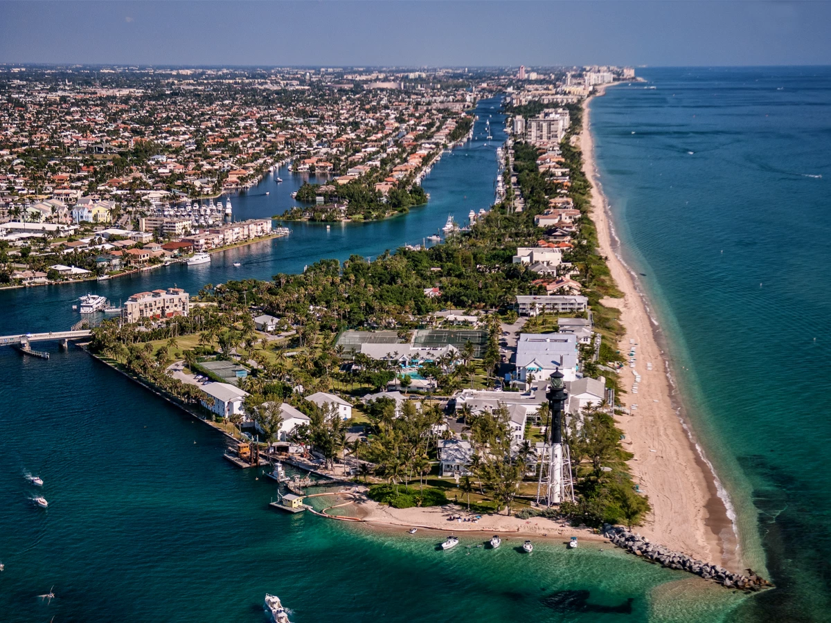
Planning and Zoning Hillsboro Beach, FL
Miami Dade TPO
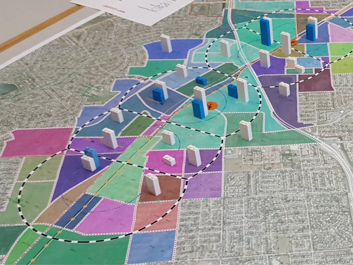
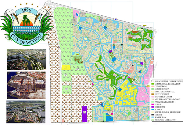
Weston, FL Comprehensive Plan
CDBG Grant Administration
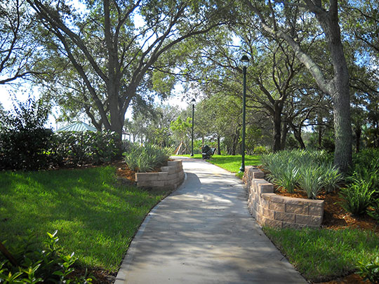
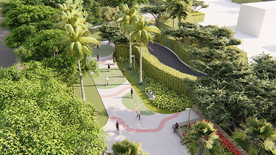
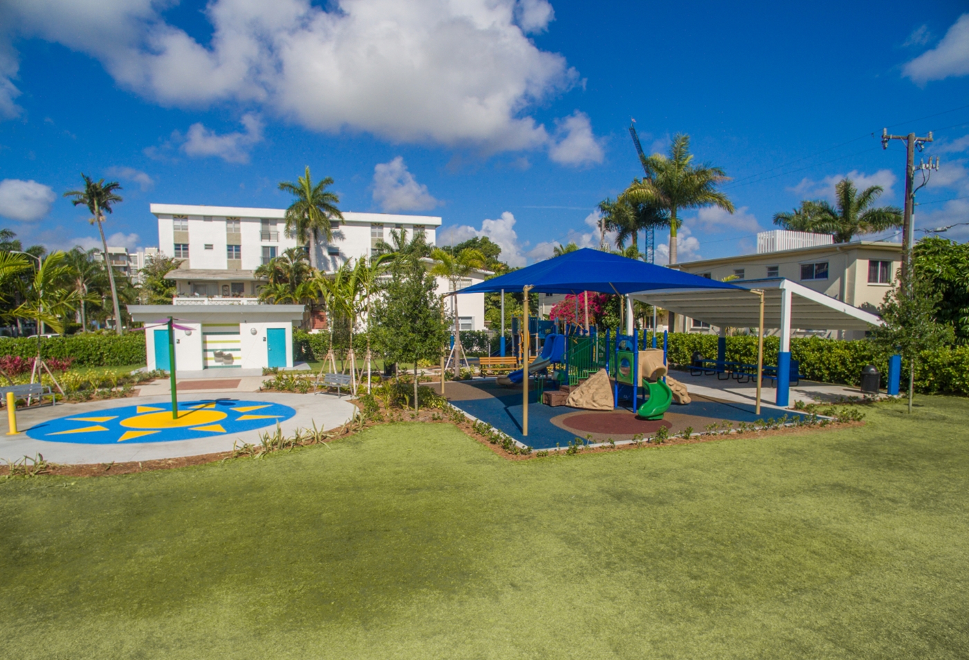
Paradise Park
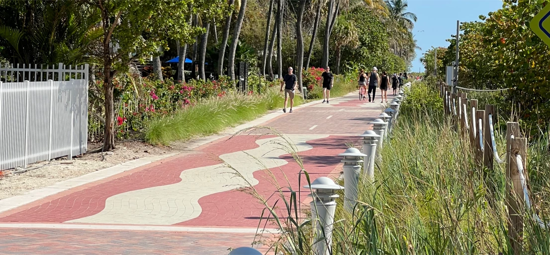
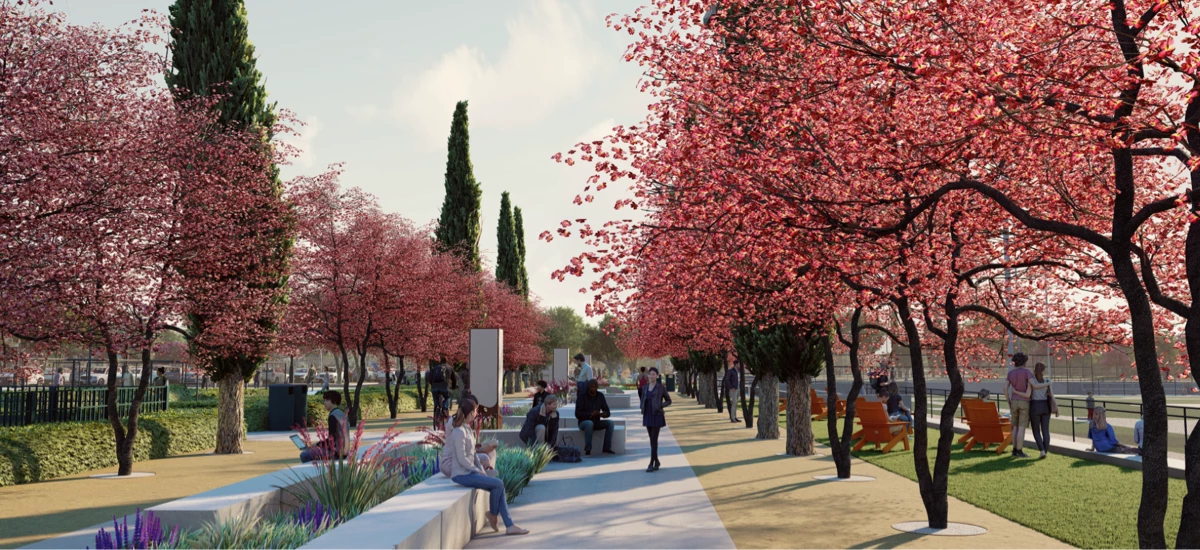
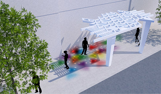
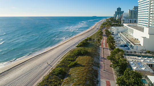
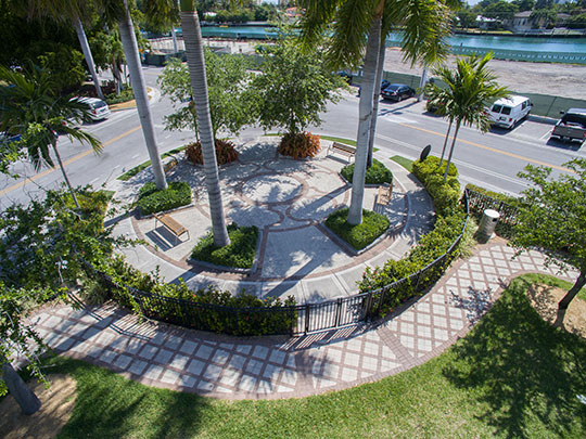
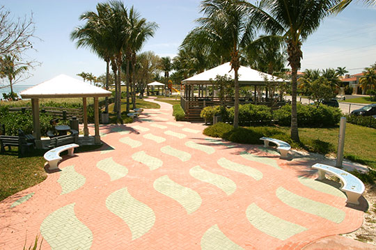
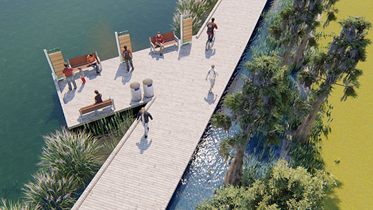
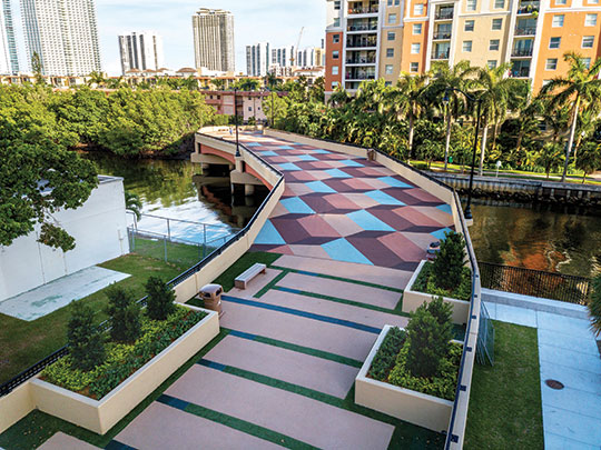
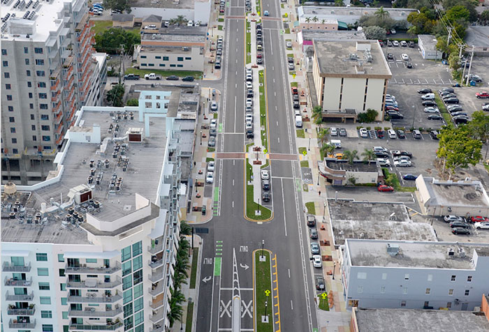
Miami Beach Recreational Corridor (MBRC)
Antelope Creek Park
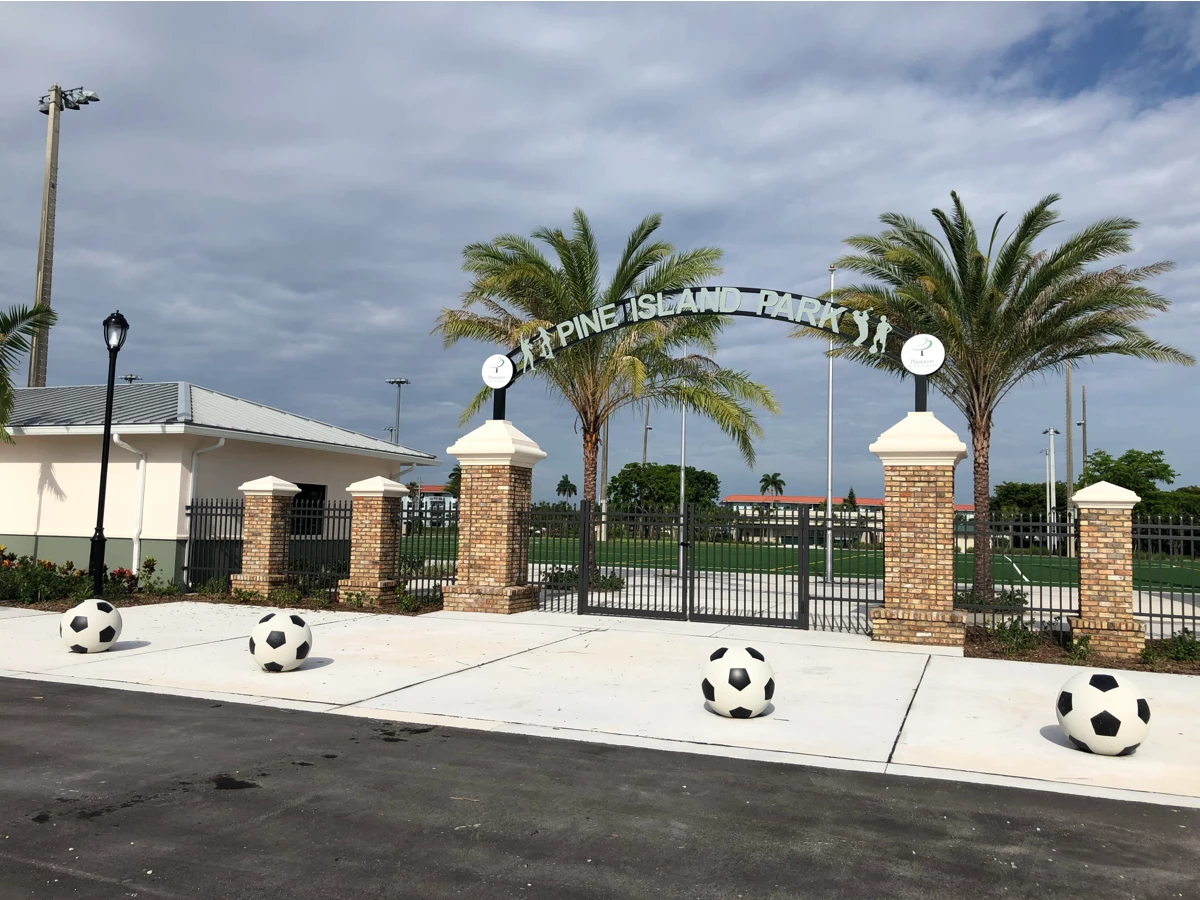
Pine Island Park Improvements
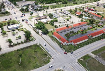
Broward County Highway Construction and Engineering Division
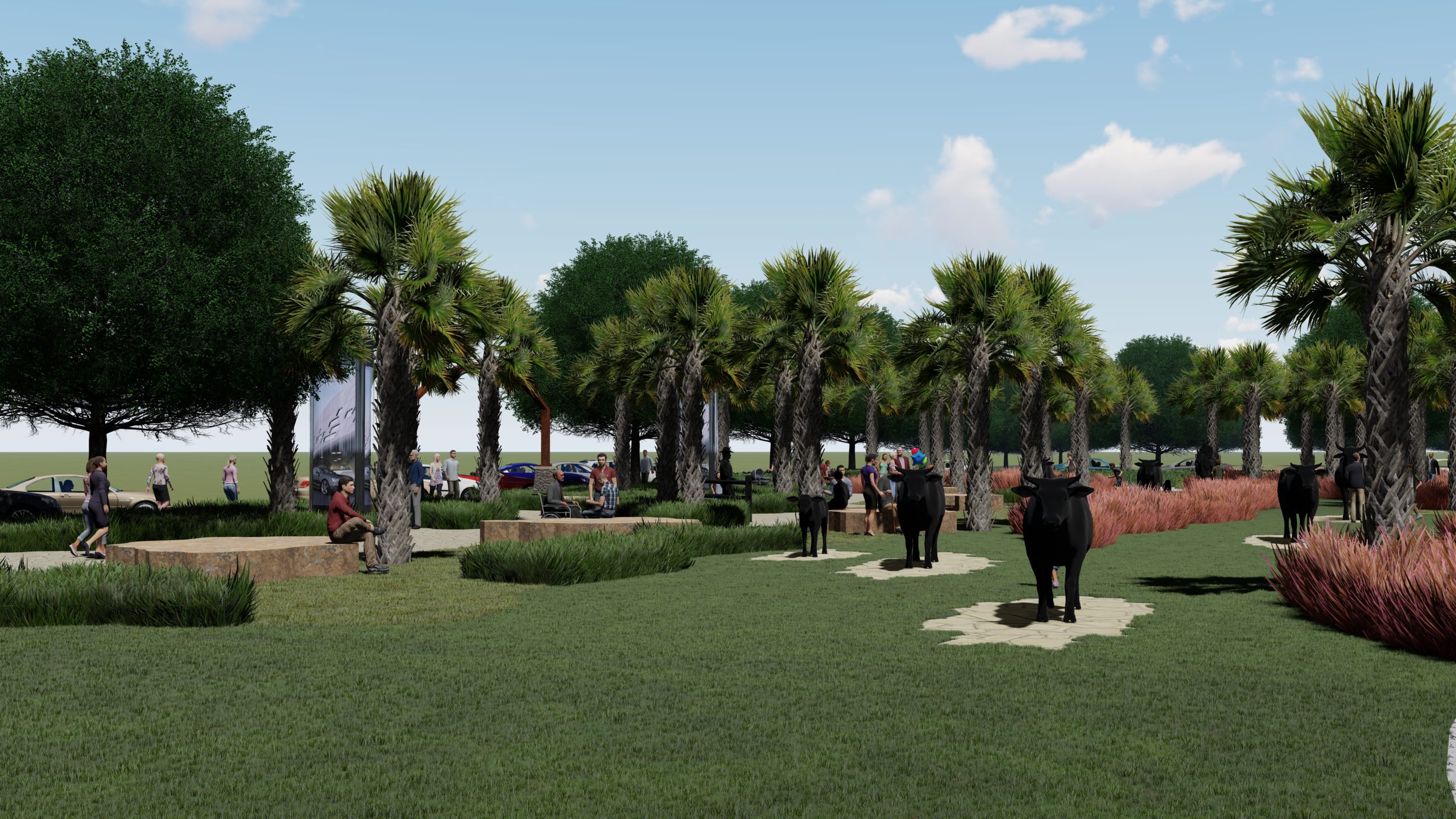
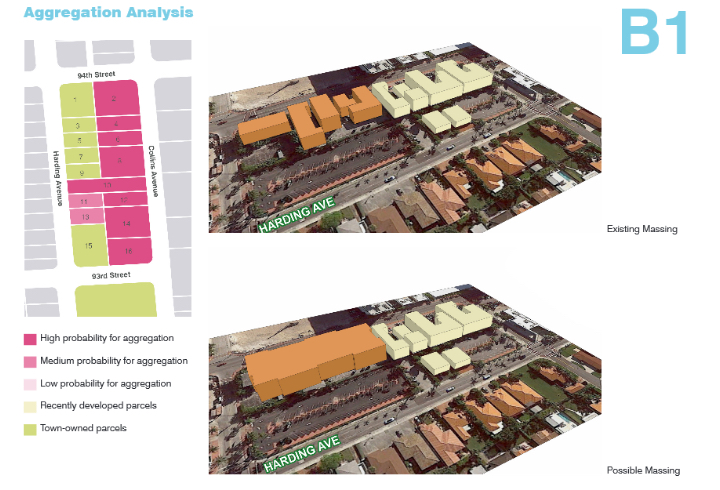
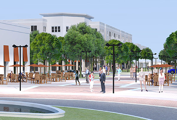
Cattlemen’s Square Landscape Architecture and Urbanism
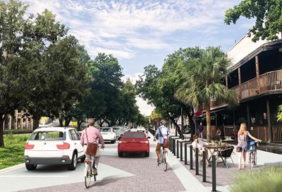
Wilton Drive Conceptual Streetscape Design
Lloyds Estates Resiliency Demonstration Project
Miami Beach Recreational Corridor Phase II
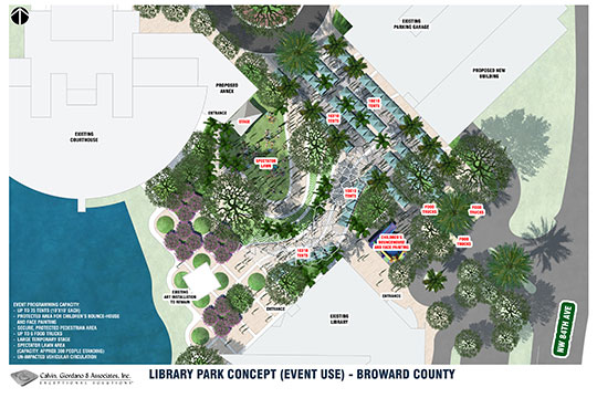
Broward County EOC Library Park Master Plan
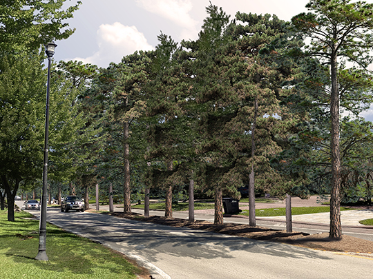
Doral Boulevard Streetscape Master Plan

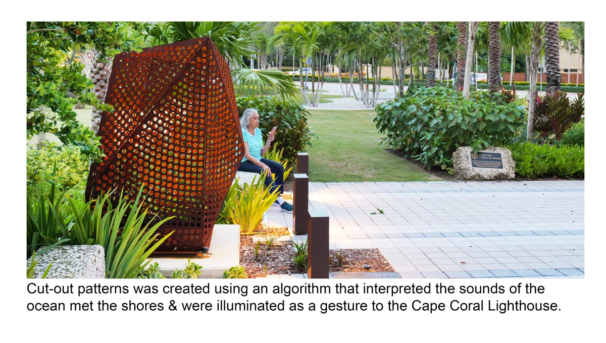
Fire Station Commemorative Plaza
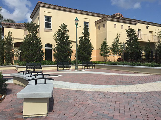
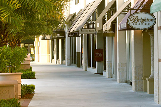
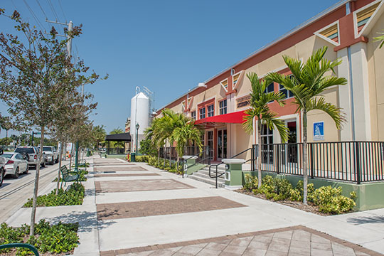
Shops at Pembroke Gardens
174th Street Bridge Park Conceptual Design
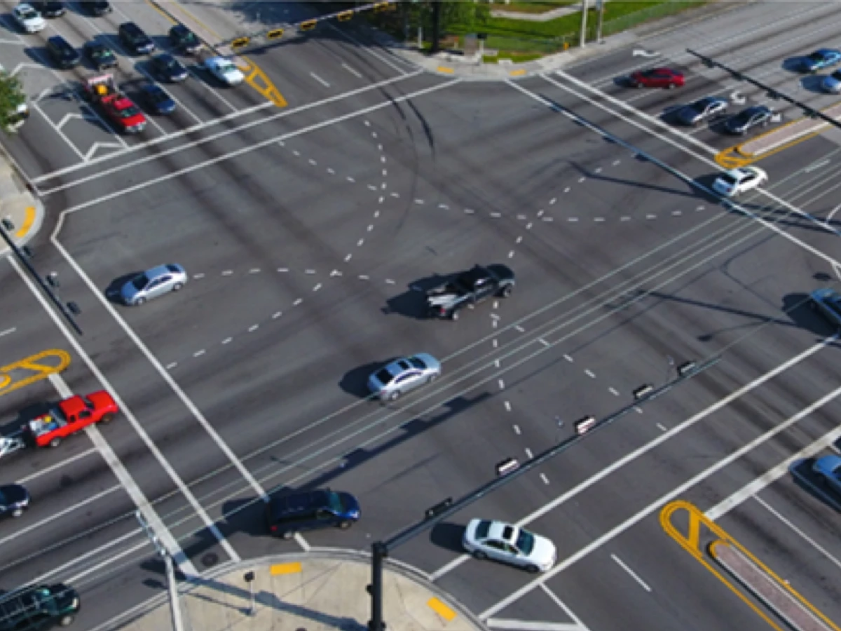
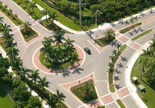
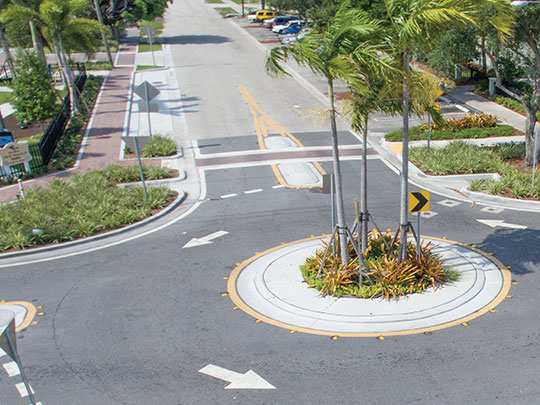
Saddle Club Road Roundabout
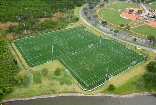
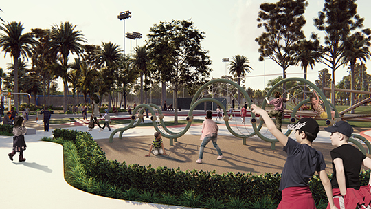
92nd Street Park
Sombrero Beach Park
Rolling Oaks Park
Delray Beach SW 9th Avenue & SW 1st Street
Clear Lake Trail Conceptual Design
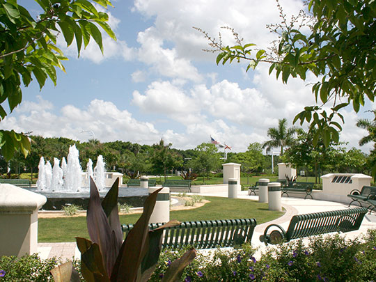
Civic Center Park
Windmill Park
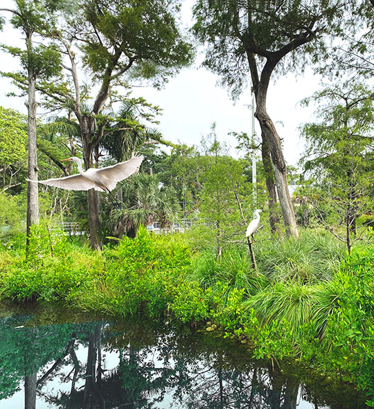
Charles E. Deering Estate Landscape Restoration

Patch Reef Park
Peace Mound Park
Mills Pond Park
Library Park
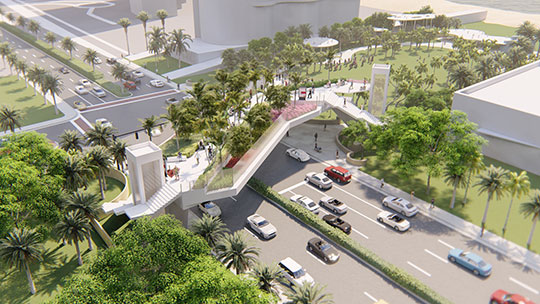
North Bay Road Pedestrian Bridge
Oakland Park Station
Urban Forestry Master Plan
North Beach Oceanside Park
Guy Davis Community Park Conceptual Design
Officer Scott A. Winters Park
Deerfield Beach Building Department
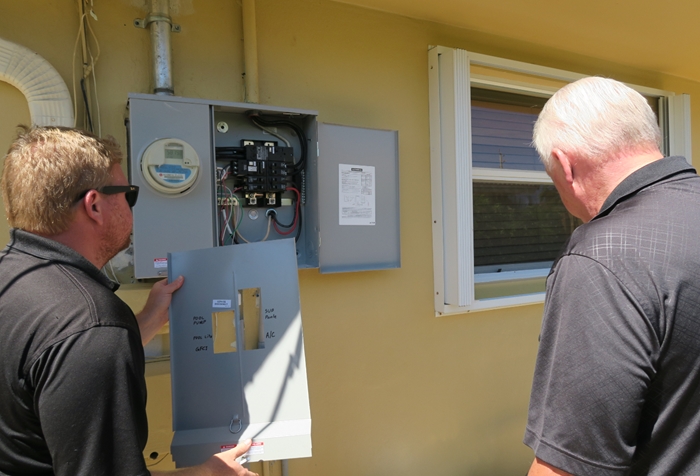
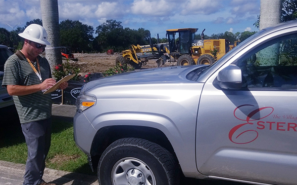
Estero Building Department
Complete Streets Hollywood Blvd.
Campbell Drive
I95 Rigid Pavement
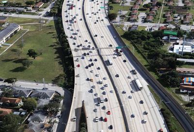
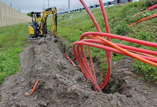
South Florida DMS Improvement and Replacement
SW 2nd Avenue Streetscape Project
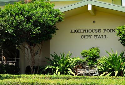
Lighthouse Point Building Department
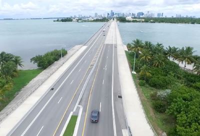
Rickenbacker Causeway Bridge Rehabilitation
Pembroke Pines Building Department
PlanItPompano!
Surfside Corridor Analysis
Tamarac Corridor Study
Weston Emergency Operations Center
Wilton Manors Urban Form & Density Study